Sea level rise hazard profile development used the worst case scenario of 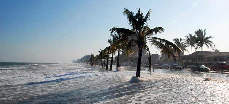
The accuracy in the modelling of sea level rise depends on two parameters namely the accuracy of sea level prediction and accuracy of
Potential impacts of sea level rise in coastal areas within the next 25 to 100 year period
Sierra Leone’s coastal areas are increasingly vulnerable to the impacts of global climate change. The combined effects of sea level rise and environmentally unsustainable practices such as mangrove deforestation and sand mining are expected to result in accelerated rates of coastal recession and destruction of infrastructure.
|
Parameters |
Scale |
||||
|
1 |
2 |
3 |
4 |
5 |
|
|
Frequency |
Very Rarely |
Rarely |
Sometimes |
Often |
Frequently |
|
Magnitude |
Trivial |
Small |
Moderate |
Large |
Very Large |
|
Duration |
Very Short |
Short |
Average |
Long |
Very Long |
|
Areal Extent |
Limited |
Very Sparsely |
Sparsely |
Densely |
Widespread |
|
Spatial Predictability |
Highly Predictable |
Predictable |
Likely |
Randomly |
Very Randomly |
|
Speed of onset |
Very Slow |
Slow |
Moderate |
Fast |
Very Fast |
|
Importance |
Not Important |
Somewhat Important |
Moderately |
Important |
Very Important |
|
Spatial Dispersion |
Very Concentrated |
Concentrated Moderately |
Moderately |
Diffused |
Widely Diffused |
District Profile
|
Area/District |
Frequency Scale |
Magnitude Scale |
||||||||
|
1 |
2 |
3 |
4 |
5 |
1 |
2 |
3 |
4 |
5 |
|
|
Western Area |
|
|
|
|
|
|
|
|
|
|
|
Bo |
|
|
|
|
|
|
|
|
|
|
|
Bonthe |
|
|
|
|
|
|
|
|
|
|
|
Moyamba |
|
|
|
|
|
|
|
|
|
|
|
Pujehun |
|
|
|
|
|
|
|
|
|
|
|
Bombali |
|
|
|
|
|
|
|
|
|
|
|
Port Loko |
|
|
|
|
|
|
|
|
|
|
|
Tonkolili |
|
|
|
|
|
|
|
|
|
|
|
Kambia |
|
|
|
|
|
|
|
|
|
|
|
Koinadugu |
|
|
|
|
|
|
|
|
|
|
|
Kenema |
|
|
|
|
|
|
|
|
|
|
|
Kono |
|
|
|
|
|
|
|
|
|
|
|
Kailahun |
|
|
|
|
|
|
|
|
|
|
[1] UNDP: Adapting to Climate Change Induced Coastal Risks in Sierra Leone